|
The following
are Maps of Georgetown and Redding Connecticut from 1758, 1771,
1781, 1795, 1797.
Map of Redding in 1758.
At this time it was still a Parish of Fairfield.
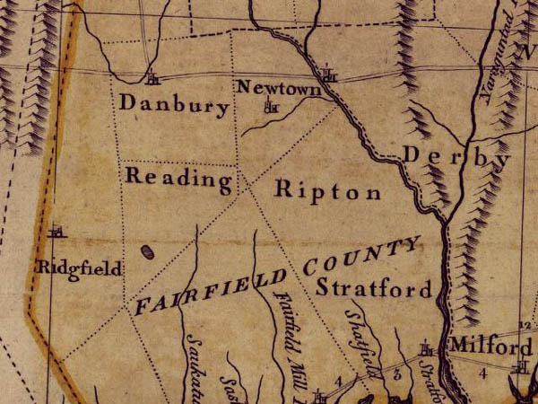
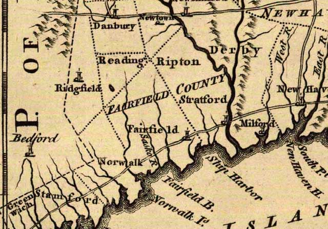
Jefferys' Map of Connecticut, 1771. Redding is Reading. Dotted lines
are boundaries.
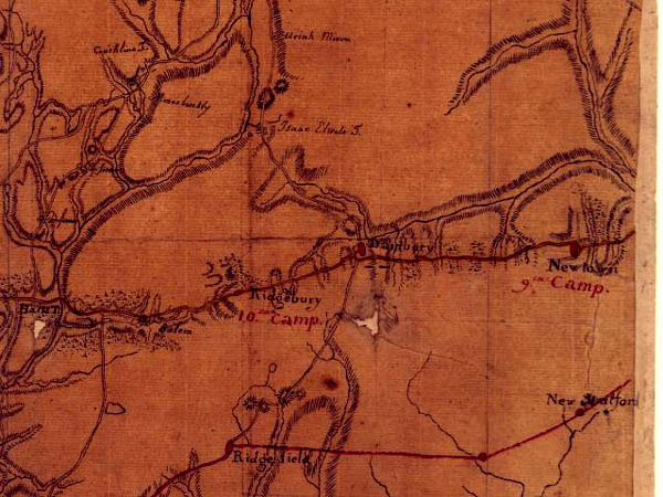
Rochambeau's map of Connecticut.
Shows routes taken by French Army on their way from Rhode Island
to meet up with American Patriot Army in New York, 1781. Redding
is a dot between New Stratford (Monroe) and Ridgefield at the bottom
of map. That dot is likely located in present day Poverty Hollow
Section of Redding.

1795 Map of Connecticut.
Redding still spelled Reading.
Weston and Easton are one town on this map
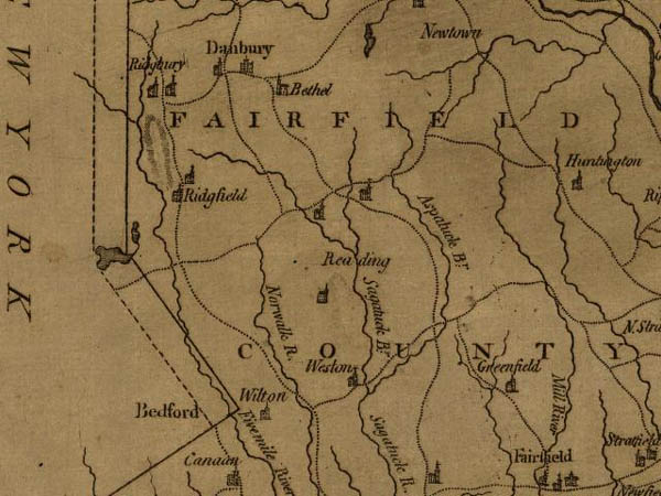
1797 map of Connecticut.
This map shows churches..Anglican (Episcopal) church at Redding
Ridge, Congregational Church at Redding Center (Great Pasture Rd),
the church below the name Reading is a tough call, could be Methodist
Episcopal Society of Georgetown or Baptist Society of Georgetown.
Sponsored
by:
UCONN's
Historical Online Map Collection.
A great resource for Connecticut historical maps
Back
to TOP | Back to Redding
Section | Back to Georgetown Section
|
