|
|
| Search Advanced |
|
| Georgetown, CT in 2002 | |
|
I have come to realize that many of the site's visitors no longer live in the Georgetown area. To help them see how Georgetown has grown and changed I have put together a picture tour of the town in 2002. To keep download sizes to a minimum I limited the number of picture to three per page. I hope you enjoy it and feel free to ask for additional views of the town you'd like to see-I'll do my best to get them for you. Email: bcolley@snet.net
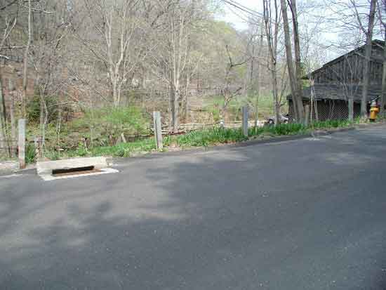
View of where Old Mill Road used to cross over to South Church Street. The next picture shows the location of the old bridge.
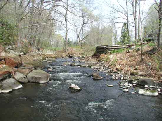
The location
of the old bridge to South Church Street. Boundary Rock that's mentioned
in the Wilbur F. Thompson articles is location to the right (though
not shown in this picture). For pictures of this bridge in 1918
and 1937 click here.
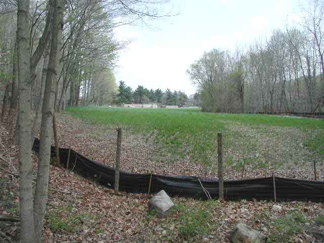
View of where the roadway to South Church St. was located from the Old Mill Road side.
Back to TOP |