|
From
Danbury, Northern Fairfield County Flood of 1955 Pictures.
A pictorial review of the disaster of October 15-16, 1955.
Pictures were taken by Robert J. Donovan, Fred Pauli, Clarence
Korker and Frank K. Collins.
October 15th and
16th, like August 19th, 1955, arrived and became history as
any other days, but they will go down in the history of Danbury,
Conn., and surrounding communities, and remain forever in
the memories of those who witnessed these tragic floods.
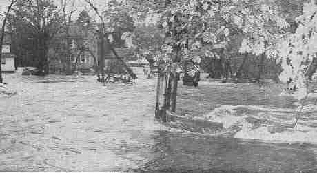
The disasters left
this town of some 35,000 people with millions of dollars in
damage as the waters of ironically named "Still"
River bashed their way through homes, factories, stores, offices,
and heaved up roads and bridges.
In Addition to
communities along the Still River, the flood of October, 1955
was also devastating to the local communities along the Norwalk
and Saugatuck River. Millions of dollars and several lives
were lost as a result of the estimated 12.58 to 13.88 inches
of rain (reports on the amount of rain varied greatly) that
fell between Friday Oct. 14 and Sunday Oct. 16th, 1955.
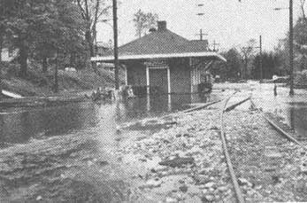
The Branchville Train Station.
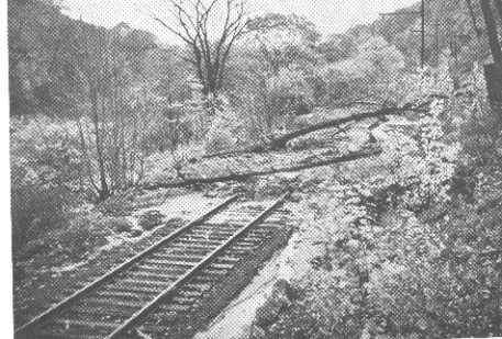
A landslide across the Norwalk-Danbury railroad track.
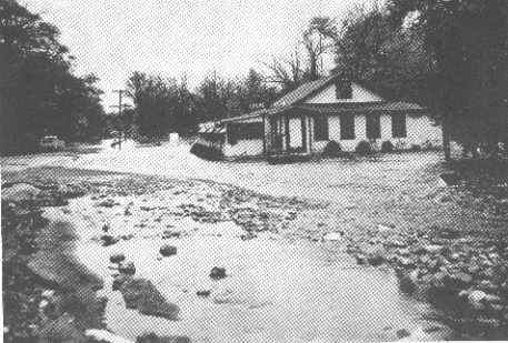
The Blue Feather Inn, Route 7, Branchville
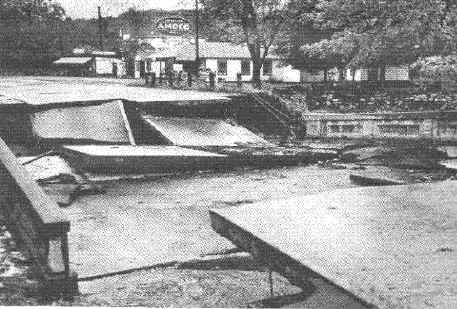
Norwalk River bridge over Route 7, Georgetown (this is the
bridge by Bob Sharp Motors and Deluca Plaza).
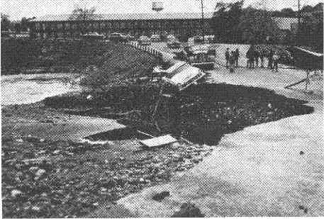
Overpass at Georgetown washed out. This car never made the
ditch.
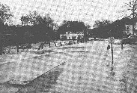
Intersection of Routes 7 and 102.
Route 7 South in Branchville.
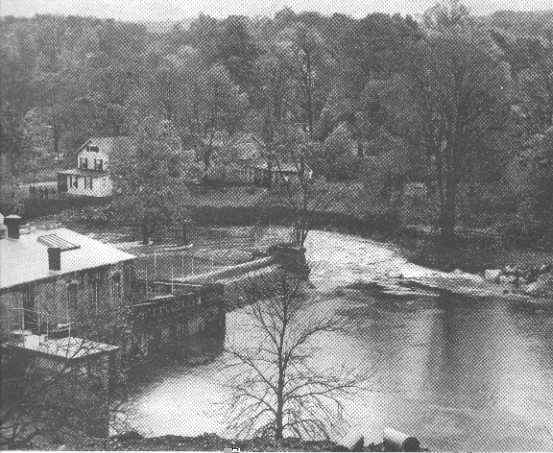
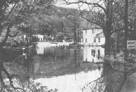
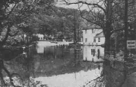
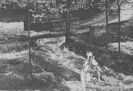
Gilbert and Bennett Company dam that broke and caused destruction
in Georgetown.
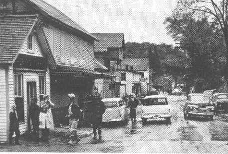
Main St. Georgetown (The gentleman in the white hat looking
to his right is my grandfather. He was an electrician at the
time and was surveying damage caused by the flood).
Rt.
102 looking down toward Rt. 7
Ivy
Hill Bridge
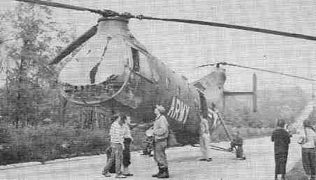
Army
Lands on Merritt Parkway.
Read
all about the Flood of 1955 here
| |
|
|
| |
Redding
and Easton
by Daniel Cruson
*Great Photos of Early Redding and Georgetown
|
|
Back
to TOP | Back to Redding
Section | Back to Georgetown
Section
|