|
Connecticut
Map of 1625 Indian Tribes (Opens
in new window)
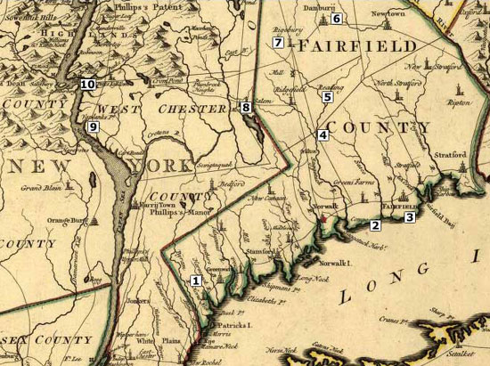
Connecticut
Map from 1771 (Opens in new window)
Connecticut
Map of Redding from 1795 (Opens in new window)
Connecticut
Map of Redding from 1797 (Opens in new window)
Connecticut
Map from 1811 (Opens in new window)
Connecticut
Map from 1824 (Opens in new window)
Connecticut
Map from 1850 (Opens in new window) Shows railroads, canals
and roads. Insets: Hartford, New Haven Includes statistical
table with census data through 1840.
Connecticut
Map from 1851 - United States Coast Survey (Opens in new
window)
Connecticut
Map from 1855 (Opens in new window) Shows railroads, canals
and roads. Includes Hudson River Valley, Long Island and New
York City.
Connecticut
River Map from 1900 (Opens in new window) Depth shown
by soundings and relief by contours. Includes notes on soundings,
tides, and authorities.
Connecticut
Map of Fairfield County 1856 (Opens in new window) Clark's
map of Fairfield County, Connecticut.
Download
PDF re-creation of How
Manhattan looked prior to European Settlement.
Southwestern
Connecticut Map that relates to places noted in the novel
My Brother Sam is Dead.
History
of Redding is a not a business or an organization..It's one
person working to promote the history of his hometown and
surrounding areas. All costs are out-of-pocket so donations
and/or sponsorships will allow me to dedicate more time
and effort to research and updates.
Connecticut Map Sponsor Link:
Map
and Geographic Image Collection @ UCONN
They call it MAGIC and it is quite amazing: aerials, old maps,
etc.
Back
to TOP | Back to Redding
Section | Back to Georgetown
Section
|