|
1934
& 2004 Aerials of Redding & Georgetown
Sponsor
Link: Map
and Geographic Image Collection @ UCONN
They call it MAGIC and it is quite amazing: aerials, old maps,
etc.
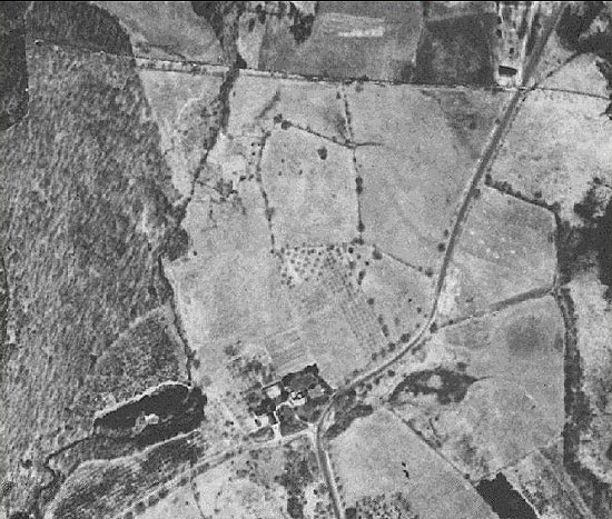
New Pond Farm- 1934
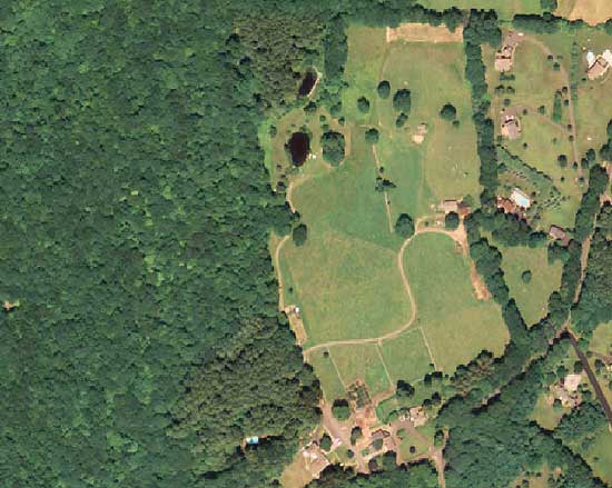
New Pond Farm- 2004
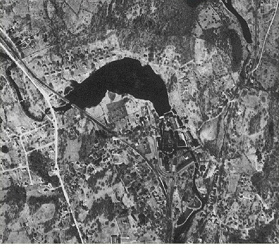
Putnam Park- 1934
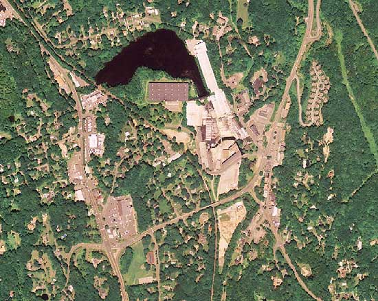
Putnam Park- 2004
Georgetown from
Portland Ave. on down- 1934
Georgetown from
Portland Ave. on down- 2004
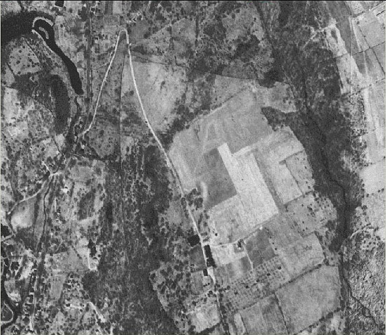
Meadow Ridge and
Farview Farm (a.k.a Gilbert's Farm)- 1934
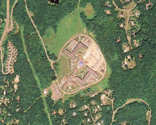
Meadow Ridge and
Farview Farm-
2004
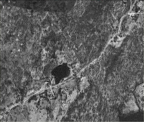
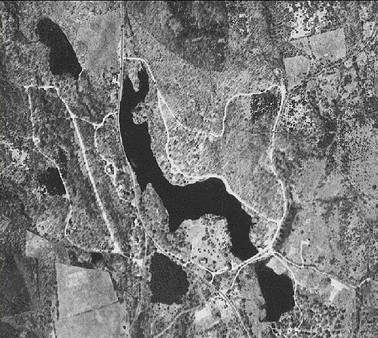
Peaceable Street.
The pond shown is at #33 Peaceable and appears to be much
larger than it is today. A 1856 map indicates Iron Ore Mining
in this area and after seeing this aerial there is a stronger
case for a mining pit here...keep in mind more research is
required to confirm.
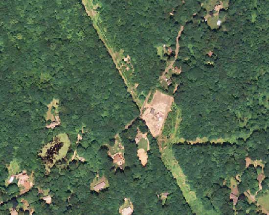
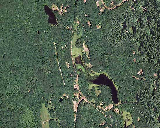
Peaceable Street
2004. The pond is smaller and full of algae...
CL&P lines and power station on the middle right.
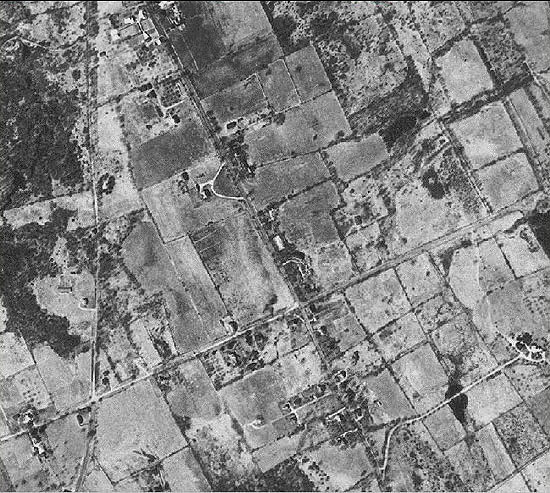
Redding Ridge- 1934
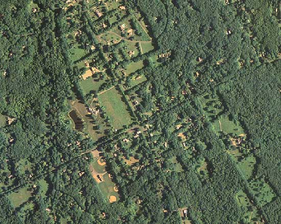
Redding Ridge- 2004
Back
to TOP | Back to Redding
Section | Back to Georgetown
Section
|