|
A
special thank you to Jim Thalacker of Big Pine Key, Florida
for sending me these aerial photographs of Redding and Georgetown
in the 1960's and 1970's.
These
are all images that I have never seen before and many of them
I cannot even describe. I have posted the images I could identify,
more will be posted soon.
Sponsor
Link: Confetti
Event and Party Decor
Specializing in party design and décor solutions for your
next special event! Phone: 203-544-6090.
Georgetown, Connecticut:
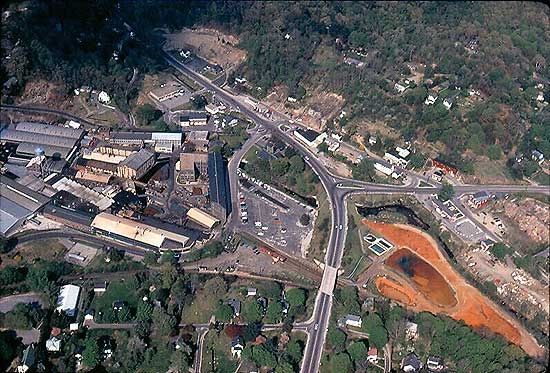
G&B Factory to the left, waste fields to the right.
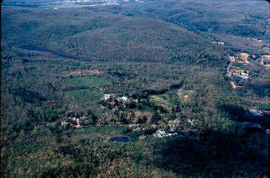
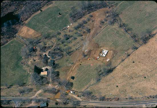
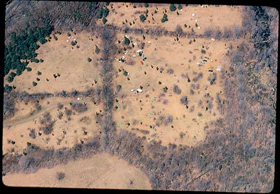
Farview Farm
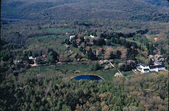
Farview Farm Close-up
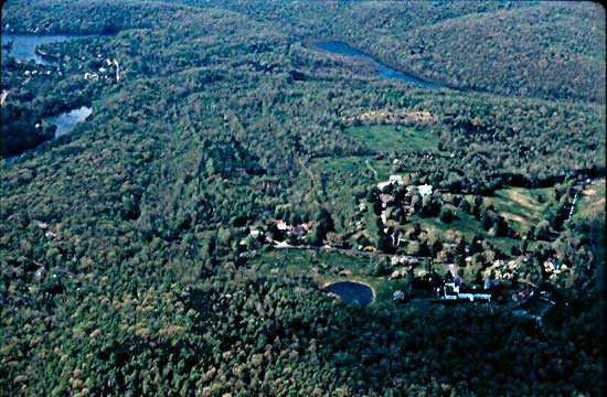
Farview Farm from
higher up. Look at all that green!
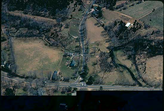
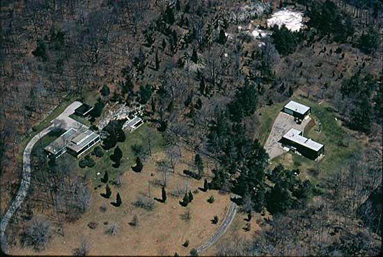
Chapman Place. Where
Limekiln Rd. meets Route 53.
Gallows Hill. Route
53 side.
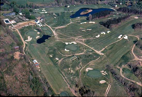
Redding Country
Club as a 9-Hole Course in 1970
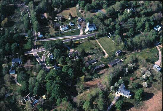
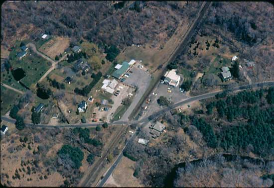
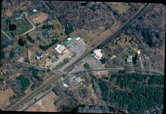
Redding Center
Topstone Park
West Redding
West Redding showing
a little more to the right
Chalburn Road looking
east. The white in the upper right is not snow, it is clay
and ash left over from a lime kiln used to make quicklime
or cement. The main Limestone quarry is the gray area to the
left (north) of the white debris field..
I think this is
the Boys Scout Camp in West Redding
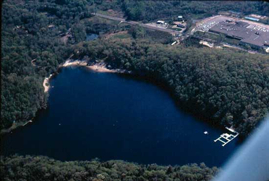
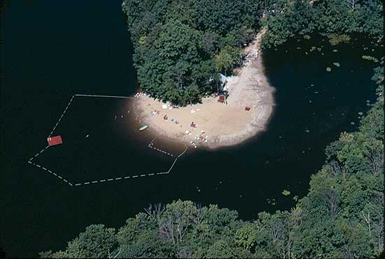
Great Pond
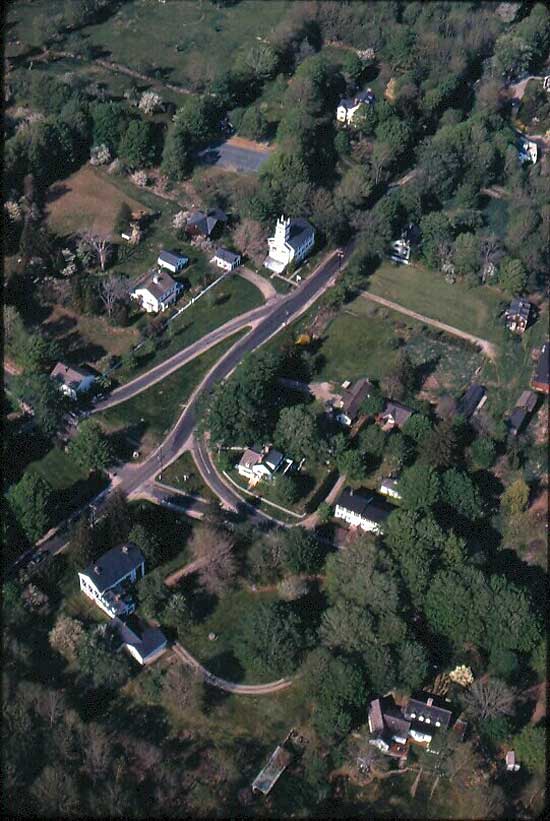
Redding Center
Jim's
photos raised the question: what other aerial images of Redding
might be out there to discover? I was able to find images
of 1934 Redding/Georgetown and 2004 Redding/Georgetown. I'm
sure there are more out there but for starters this is great
stuff!
1934
Aerials of Redding & Georgetown
2004
Aerials of Redding & Georgetown
Compare
1934 & 2004 Aerials of Redding & Georgetown
Back
to TOP | Back to Redding
Section | Back to Georgetown
Section
|